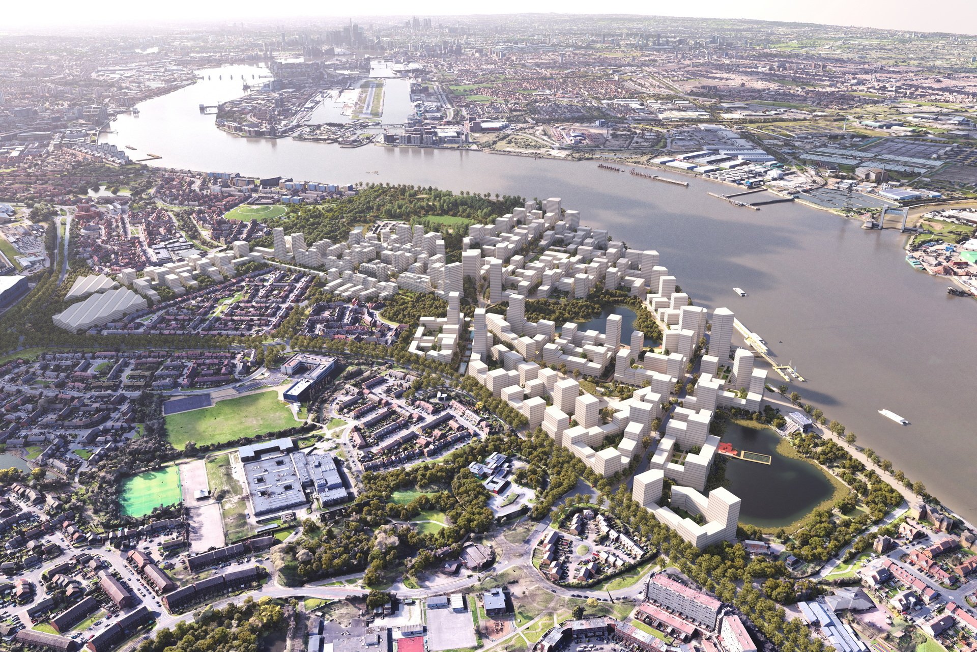
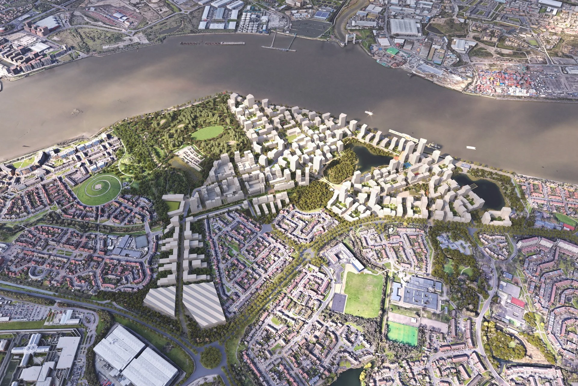
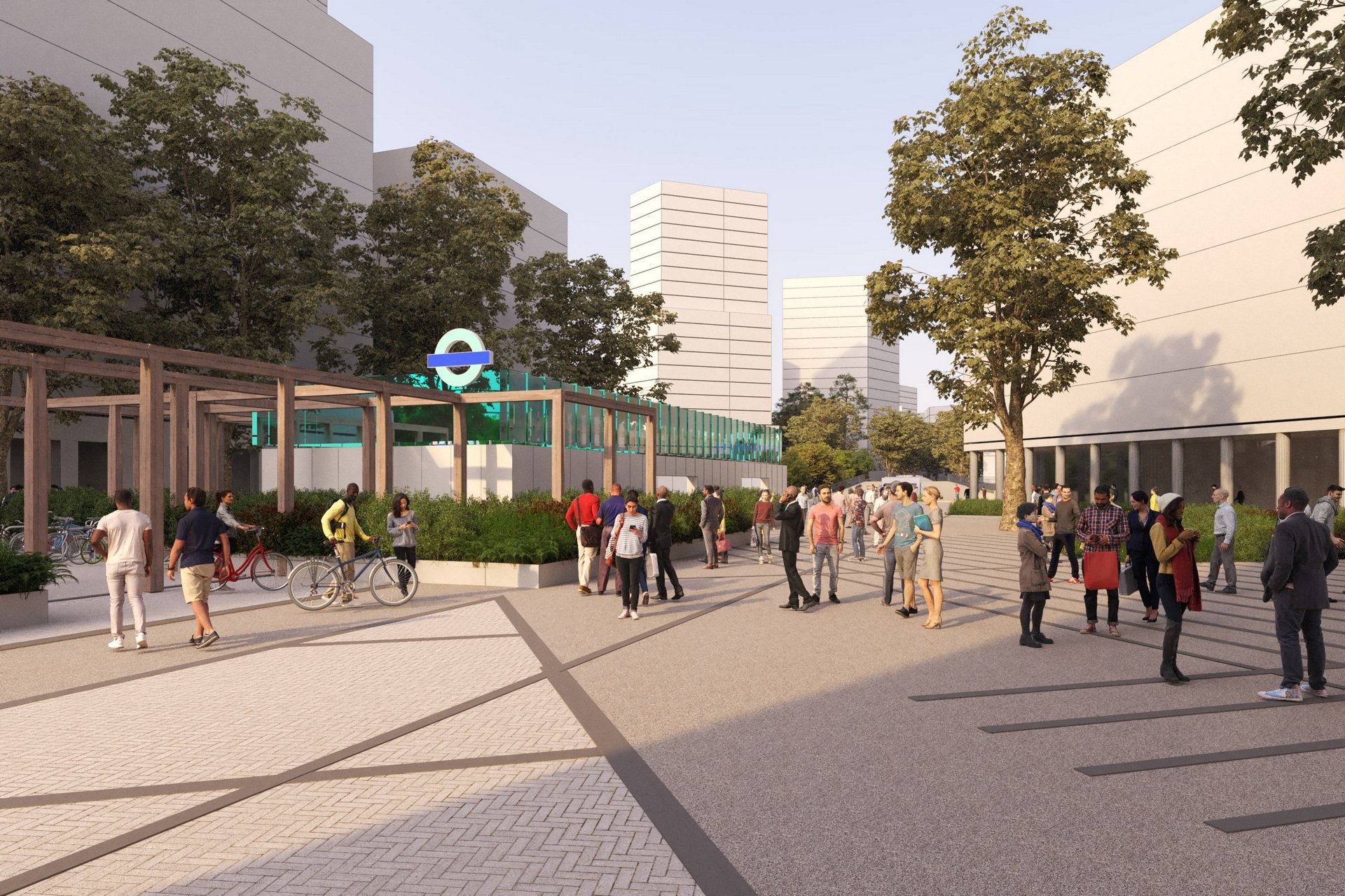
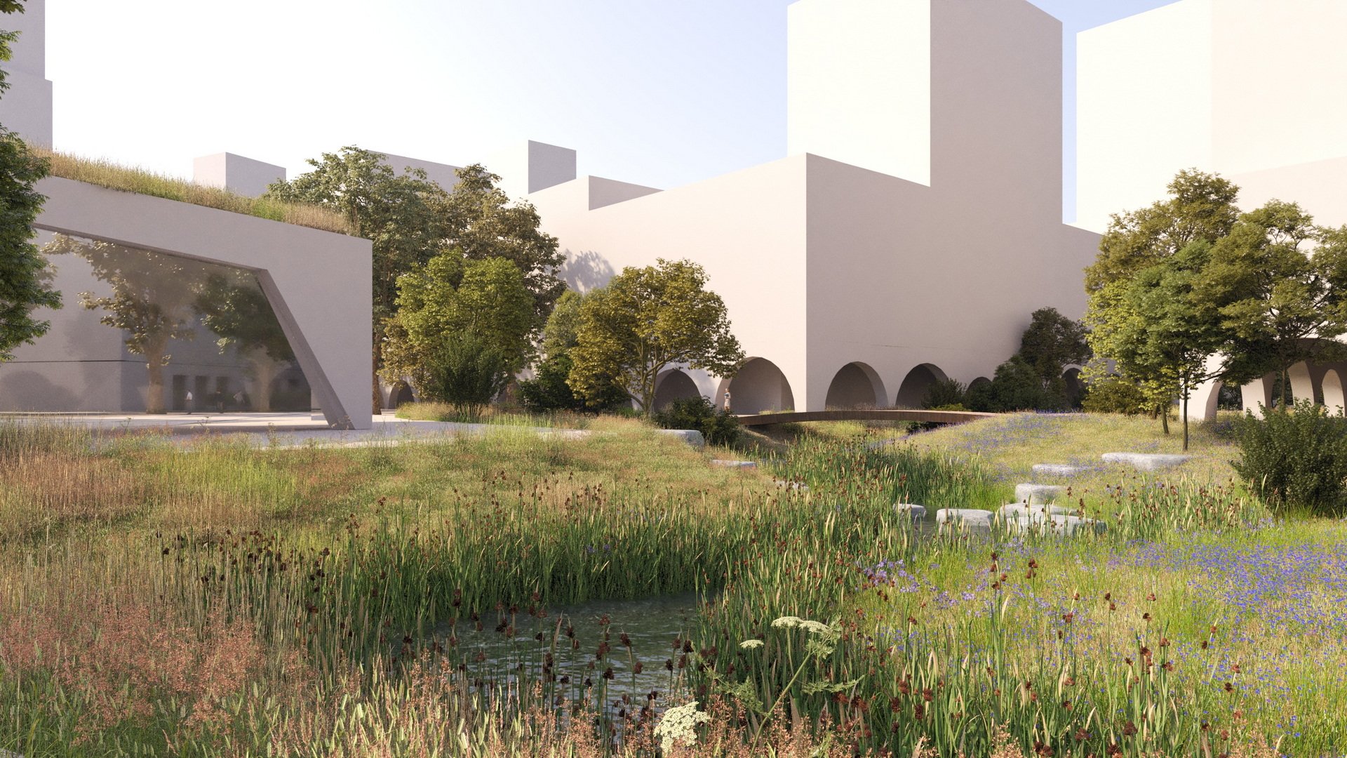
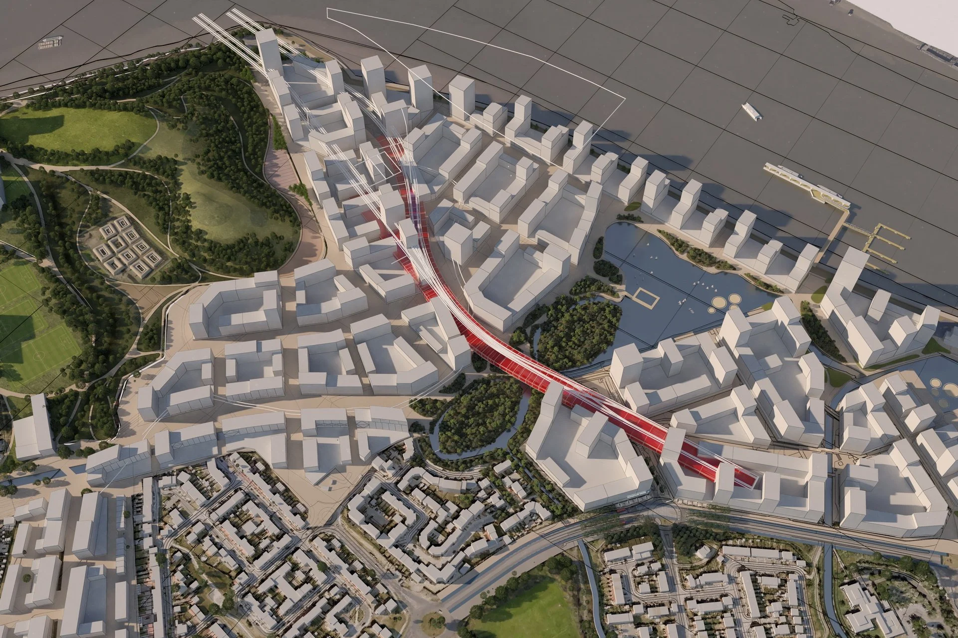
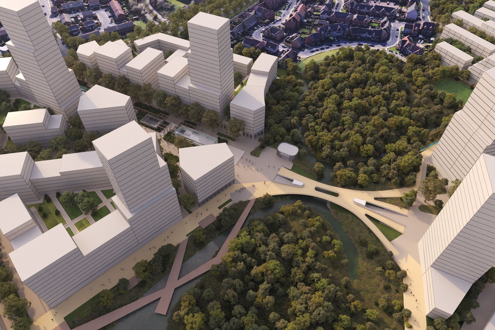
Thamesmead Waterfront
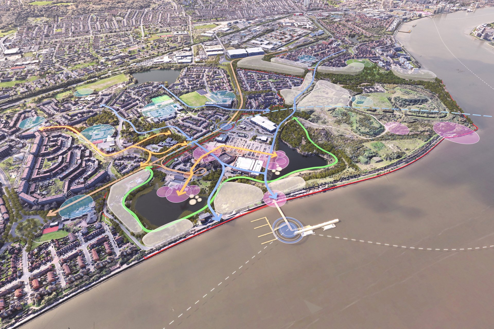
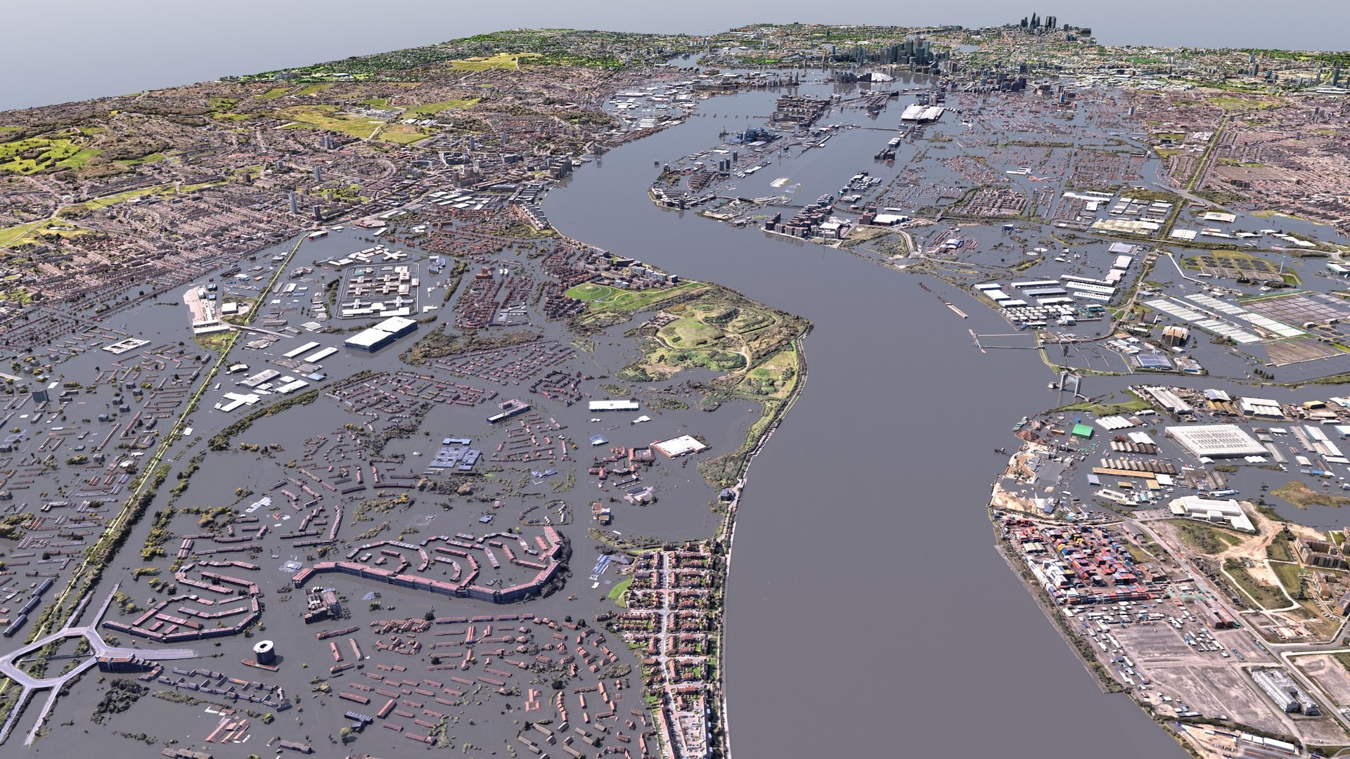
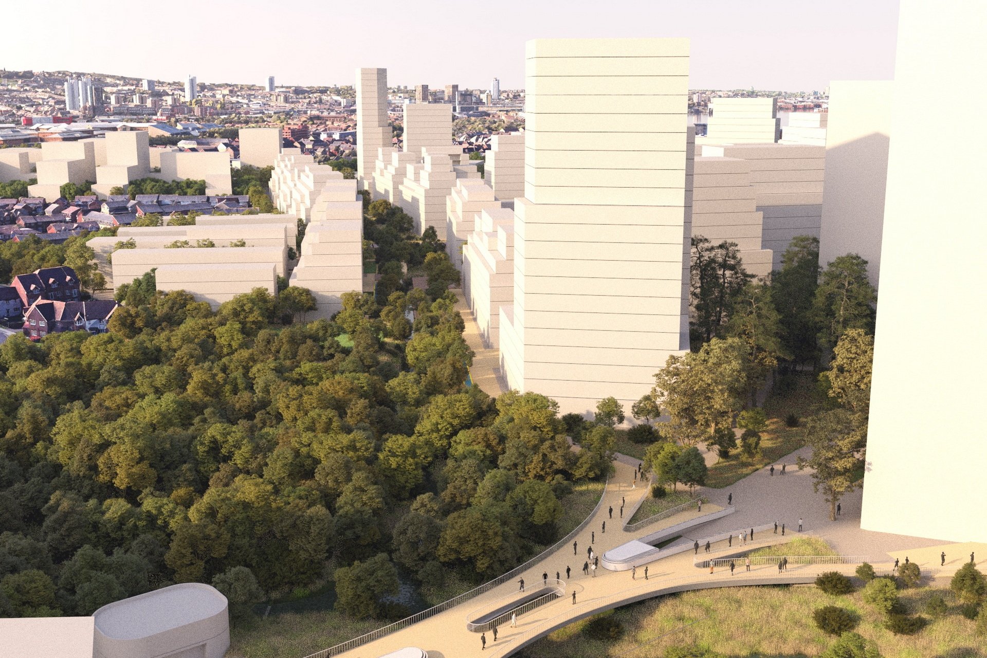
We use GIS to coordinate large and evolving data sets from a wide range of consultants. We provide 3d design support, modelling and visual communication at all stages of the design process. From concept design studies, to geometry design, data visualisation to planning applications. Whether python script, BIM or GIS, it’s all about having the tools to engage with designers whatever their backgrounds and a deep understanding of processes involved.